Cape Cod Commission staff develops solar screening tool
Web-based application designed to assist in appropriate siting of large-scale solar photovoltaic projects
The Cape Cod Commission’s 2018 Regional Policy Plan identifies recommended actions to address major challenges facing the region, including climate change. Renewable energy, such as solar photovoltaics (PV), can be an effective tool to mitigate the impacts of climate change. However, large-scale solar projects need to be sited responsibly to avoid negative impacts to the Cape’s sensitive natural resources.
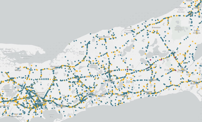
A new web-based solar screening tool will soon be available from the Cape Cod Commission. Created by Commission staff and reviewed by a group of external stakeholders and potential users, the screening tool will help guide projects toward appropriate areas and away from important conservation areas. The tool considers both built and natural environments to identify areas more or less appropriate for solar development. It is designed for use by anyone interested in developing or reviewing large-scale solar facilities.
Within the tool, parcels are shown on a solar screening scale that represents the relationships between built and natural features. While parcels with more natural features may be less appropriate for large-scale ground-mounted solar arrays, sizable built features present on these parcels may be appropriate for solar PV installations. Built and natural feature layers are provided as well as contextual features, all for use in helping inform the siting of solar PV projects on Cape Cod.
The tool allows the user to learn more about the parcel’s relationship between built and natural features, a listing of built and natural features present, and other useful information about the parcel. All of the built, natural, and contextual feature layers are available in an organized layer list for the user to explore.
Built system features highlight existing developed sites that are potentially suitable for large-scale solar. Such sites include transfer stations, sand and gravel pits, industrial activity centers, and large commercial and industrial structures and parking lots. Natural system features include consideration of open space, wetlands, and wildlife habitat. Contextual features, such as the local utility’s hosting capacity, existing solar developments, and 3d buildings and street trees are also included for the user to consider in evaluating the suitability of potential sites.
The tool, created using ESRI’s ArcGIS software suite, was previewed during the Northeast Arc Users Group (NEARC) conference held virtually on November 16. It won recognition at NEARC for most impressive use of GIS for analysis or to solve a problem.
The tool is currently undergoing final staff review and will soon be available on the Cape Cod Commission’s website.
Related Posts


